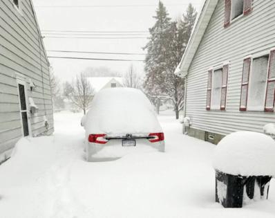
Powerful western storm expected to intensify across Midwest, could bring heavy snow to upstate NY
Published in Weather News
A powerful storm system could bring heavy snow, high winds and cold temperatures to parts of upstate New York by the end of next week, weather officials said.
The storm, which is predicted to develop east of the Rocky Mountains early next week, is expected to move from the Central Plains northeastward to the Great Lakes, between Thursday and Friday.
As it does so, it will likely bring high winds to much of the eastern U.S. and increase the potential for lake-effect snowfall in the Great Lakes, according to a statement issued by the National Weather Service’s Climate Prediction Center.
The storm is also expected to intensify as it moves across the Midwest and Great Lakes, according to an update.
Lake-effect snow occurs when cold air, often originating from Canada, moves across the relatively warm, unfrozen waters of the Great Lakes, transferring warmth and moisture into the lowest portion of the atmosphere, according to the NWS. As the air rises, clouds form and grow into a narrow band that could produce 2 to 3 inches of snow per hour or more.
Forecasters say some portions of the state could get up to a foot of snow, according to Buffalo radio station WYRK.
However, NWS officials say there’s still some “uncertainty in the magnitude of the cold air” — which could impact the type of precipitation and the amount of snow for some locations.
“You’re still 10 days out and a lot could change,” Mike Kistner, a meteorologist in the weather service’s Binghamton office, told Syracuse.com on Thursday. “It depends on the evolution of the weather pattern and whether that cold air drops southward from Canada.”
________
©2024 New York Daily News. Visit nydailynews.com. Distributed by Tribune Content Agency, LLC.


Comments